


COURSES
Total 5
- Ongoing
Enrollment Period 03-01-2025 ~ 02-28-2026
Learning period 03-01-2025 ~ 02-28-2026
Certificate Yes
Register - Ongoing
 D-180
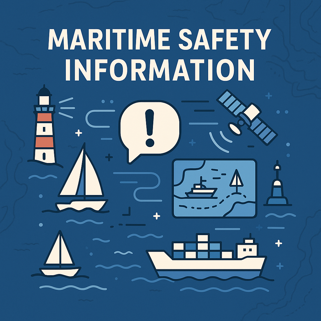
D-180MSDI Fundamentals
This lecture aims to give a broad understanding of the definition of MSDI, its uses and future aspects. The contents were provided by the IHO MSDIWG and were modified to suit an e-learning environment. The lecture consists of four parts and 13 lessons. The lessons can be found at http://www.iho-ohi.net/MSDI/. < Lessons >Self-pacedLecture_time : 2.3HEnrollment Period 01-01-2023 ~ 12-31-2025
Learning period 01-01-2023 ~ 12-31-2025
Certificate Yes
Register - Ongoing
 D-180
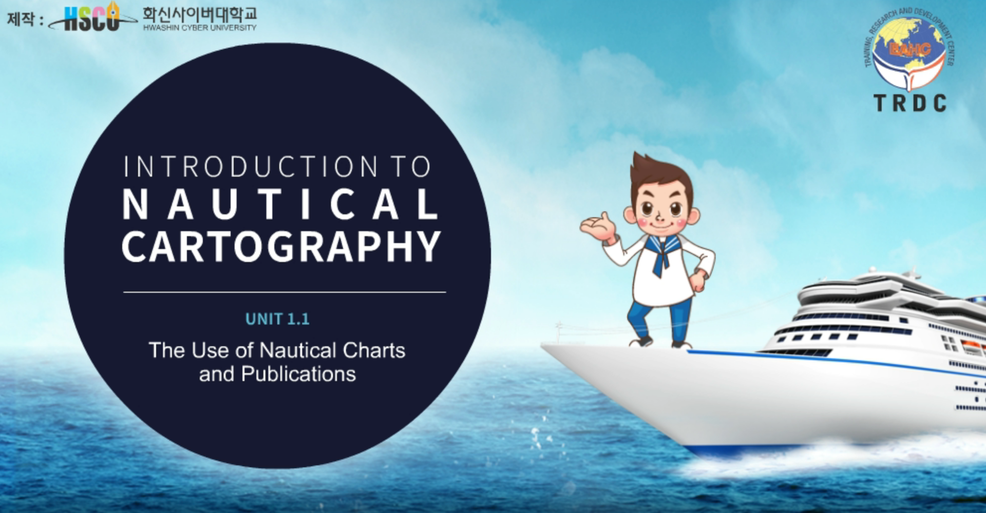
D-180Fundamentals of Chart Production
Fundamentals of Chart Production
Based on S-8B (Ver 3.1.0), it is composed of 14 lessons with contents prepared by KHOA and provided through the TRDC to enhance basic knowledge of nautical charts and ENCs. < Lessons > 1. The Use of Nautical Chart and Publications 2. ENCs, ECS and ECDIS 3. The Design of Charts and ENCs 4. Source Material for Charts and ENCs 5. How charts are constructed 6. Practical Geodesy for Charts and ENCs 7. Evaluation of Bathymetric Surveys 8. Sounding Selection Introducing 9. S-57 and ENC Production 10. Data Creation and Editing 11. Validating ENC Data 12. Methods of Updating 13. Notices to Mariners 14. Notice to Mariners Block ExerciseSelf-pacedLecture_time : 5.5HEnrollment Period 01-01-2023 ~ 12-31-2025
Learning period 01-01-2023 ~ 12-31-2025
Certificate Yes
Register - Ongoing
 D-180
D-180Fundamentals of MSDI
Content produced by KHOA and provided through TRDC, consists of a total of 8 lectures to help hydrologists who are just beginning to understand MSDI. < Lesson > 1. Master Scenario 2. Marine data products and services 3. Data Sharing 4. Copyright and Hydrologists 5. Geospatial Information Infrastructure 6. Maritime dimension of spatial information infrastructure 7. Practical use of GIS for SDI solutions 8. Marine information overlaySelf-pacedLecture_time : 2.5HEnrollment Period 01-01-2023 ~ 12-31-2025
Learning period 01-01-2023 ~ 12-31-2025
Certificate Yes
Register - Ongoing
 D-180
D-180Fundamentals of Hydrographic Survey
Fundamentals of Hydrographic Survey
Based on S-5B Ver. 1.0.1., it is composed of 15 lessons in total with contents prepared by KHOA and provided through the TRDC to enhance basic knowledge of hydrographic surveying. < Lessons > 1. Introduction to Hydrography 2. Meteorology Fundamentals and Measurements 3. Oceanography Fundamentals and Measurements 4. Marine Geology and Geophysics 5. Tidal Theory 6. GNSS Concepts 7. Underwater Acoustics 1 8. Underwater Acoustics 2 9. Single Beam Echo Sounders 10. Side Scan Sonar 11. Other systems 12. Multibeam fundamentals 13. Multibeam practicals 14. Remote Sensing Principles 15. LiDAR applicationSelf-pacedLecture_time : 2.5HEnrollment Period 01-01-2023 ~ 12-31-2025
Learning period 01-01-2023 ~ 12-31-2025
Certificate Yes
Register